Official launch of the regional project “Pilot-based Afforestation and Reforestation of Degraded Forest Areas in the Border Area between Kazakhstan and Kyrgyzstan” took place online on 20 November 2020. The project was initiated by Department for Forest Ecosystems Development (DFED) under the State Agency for Environmental Protection and Forestry under Government of the Kyrgyz Republic and the Committee for Forestry and Wildlife (CFW) in the Ministry of Ecology, Geology and Natural Resources of the Republic of Kazakhstan. The project is being implemented with the support of Deutsche Gesellschaft für Internationale Zusammmenarbeit (GIZ) GmbH (German Society for International Cooperation) on behalf of the German Ministry for Economic Cooperation and Development (BMZ).
The project aims developing an economically viable concept of afforestation, forest landscape restoration, adapted to the local conditions of the two countries. At the initial stage of the project, analysis based on historical mapping of forest cover change satellite images will be documented over a time series of 40 to 70 years. It would support to determine the areas in the border regions of Kyrgyzstan and Kazakhstan where the forest cover changed: degradation and/or loss forests.
Further, under the leadership of DFED and CFW, representative pilot sites will be selected for afforestation and reforestation, considering local conditions and national policies of both countries, as well as involving a wide range of local stakeholders to the process. At the final stage of the project, all processes will be described, and the gained experience will be documented. It is expected that the methodology developed and tested during the project for identifying potential areas for reforestation will enable Kyrgyzstan and Kazakhstan to scale up the pilot experience and help the governments of the two countries fulfill their obligations under the international Bonn Challenge initiative.
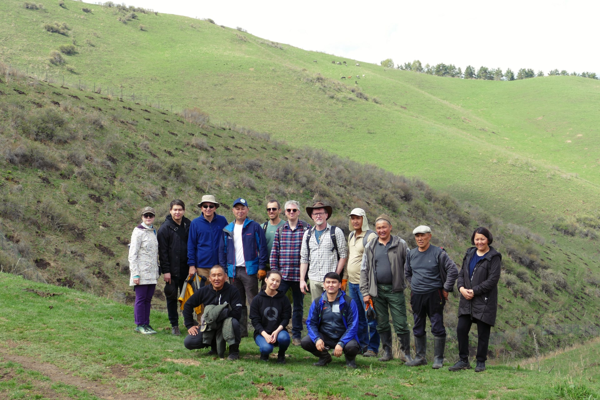
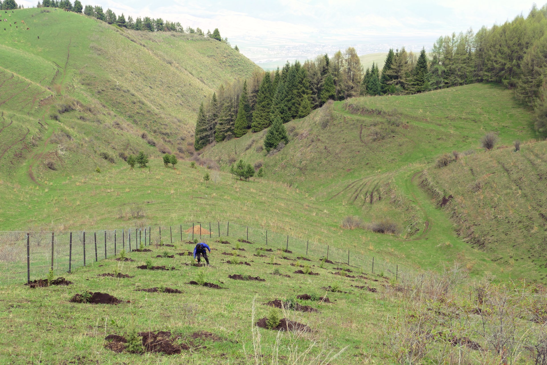
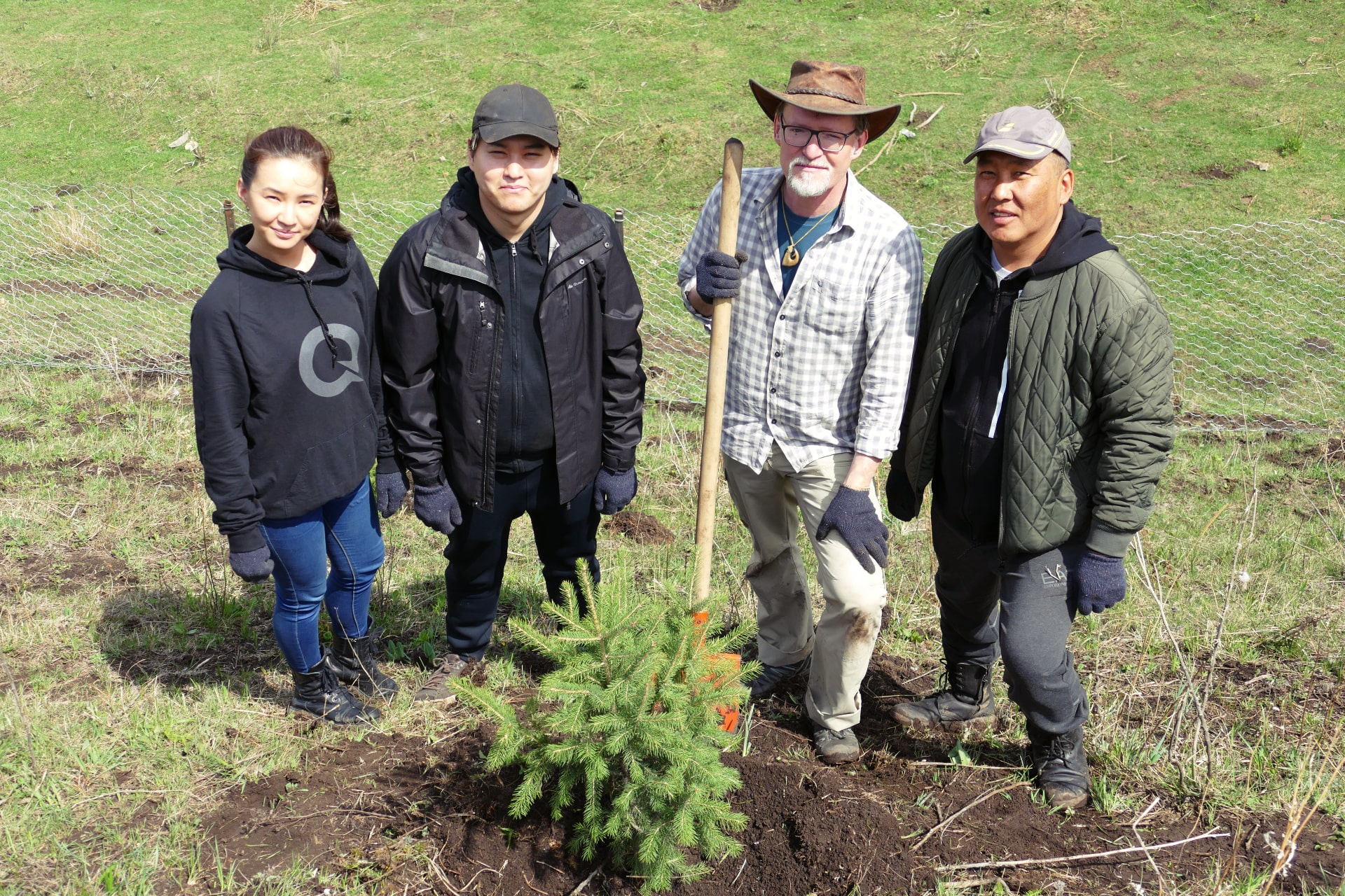
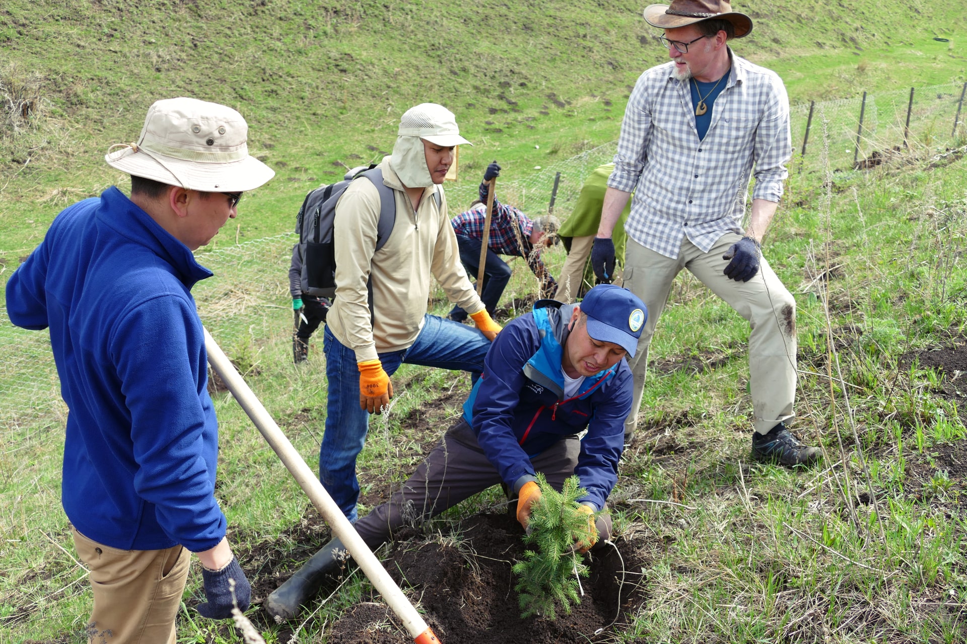
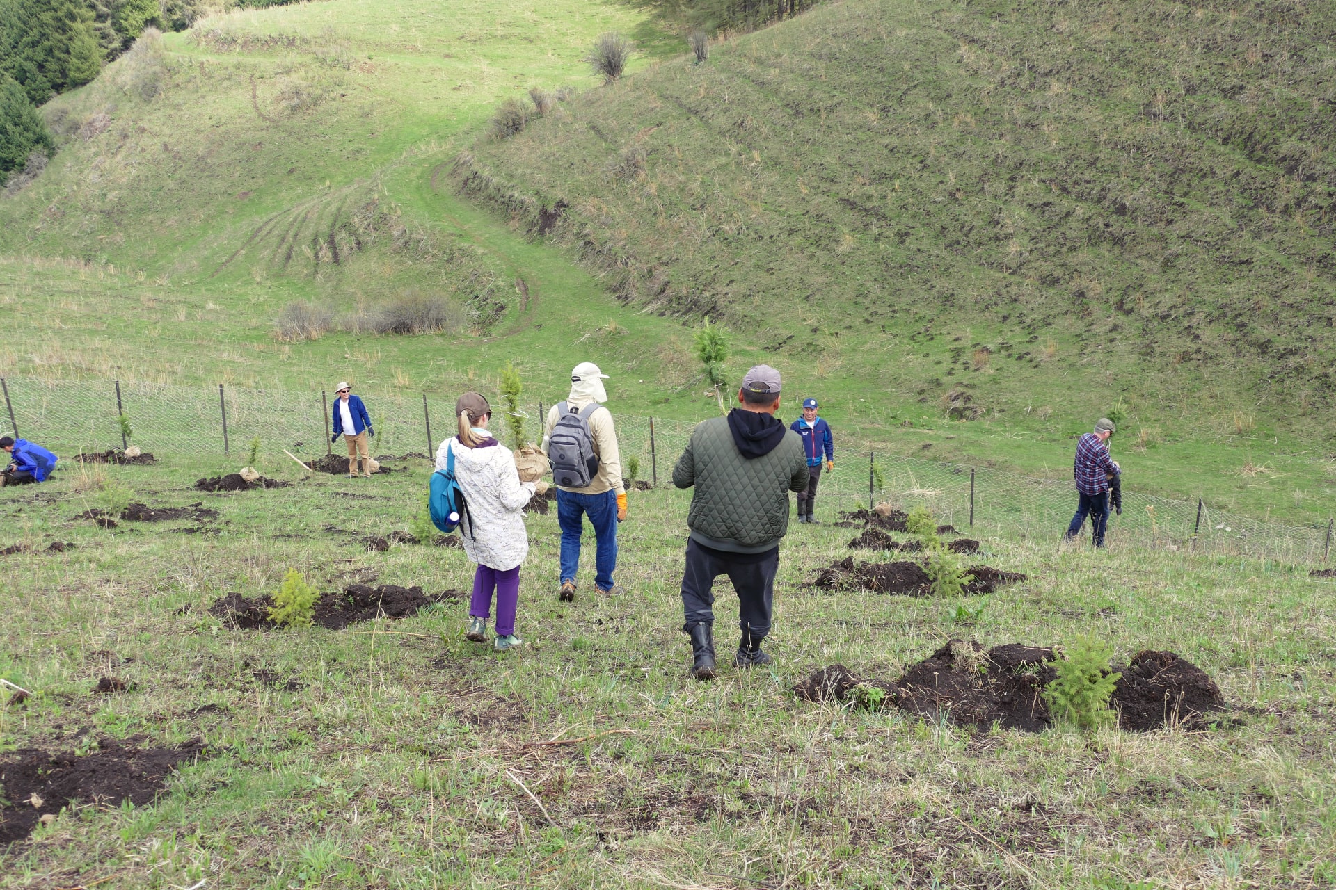
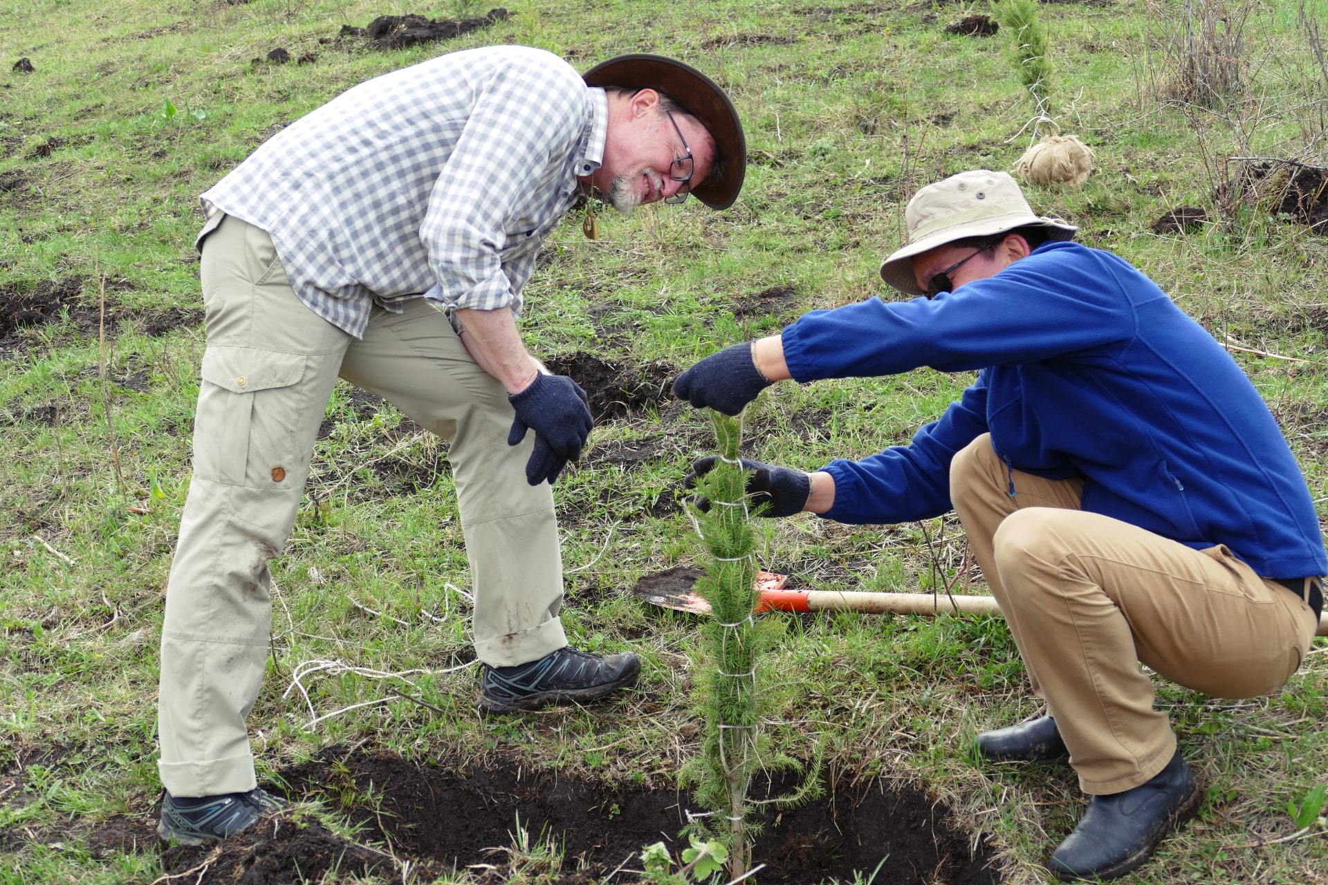
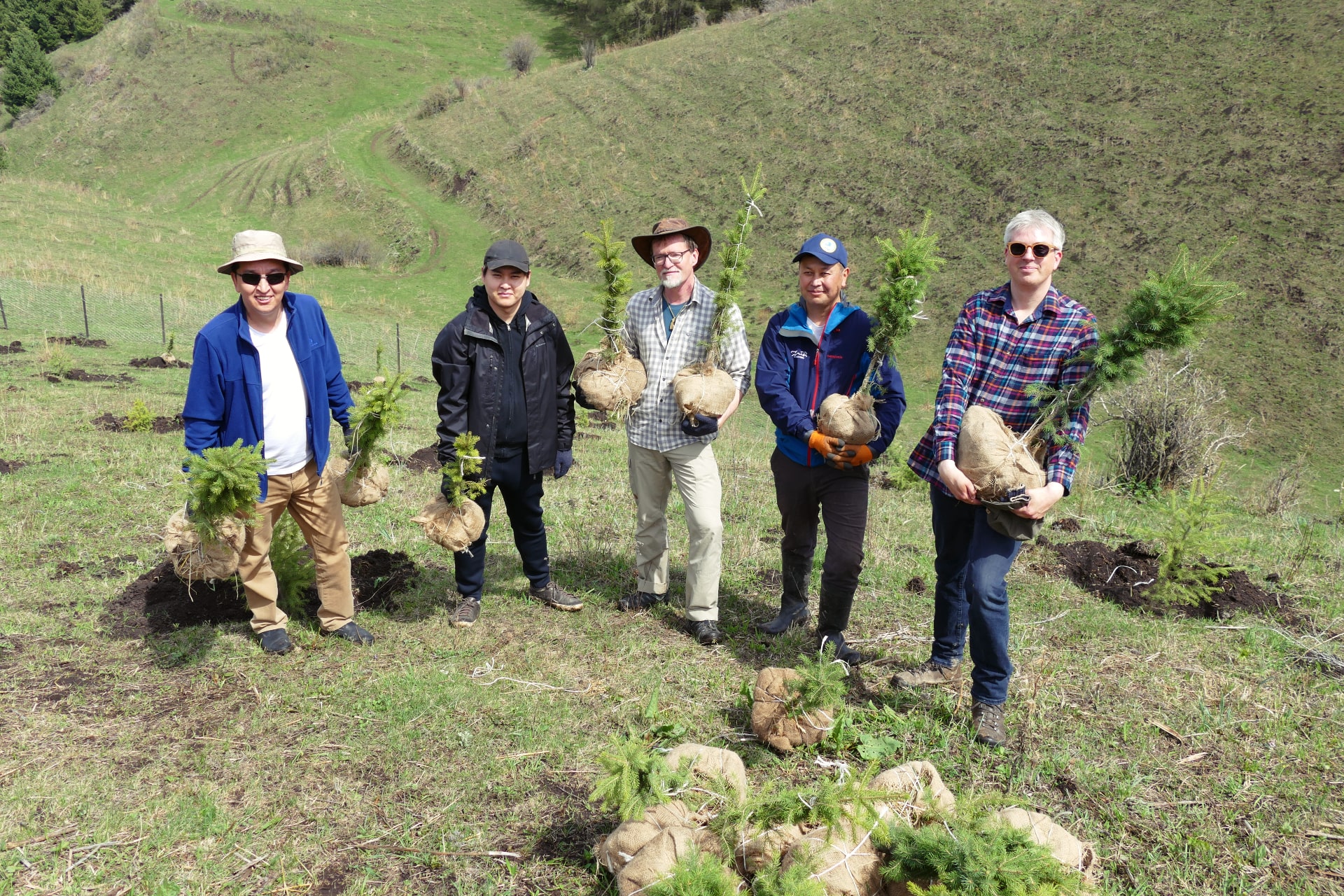
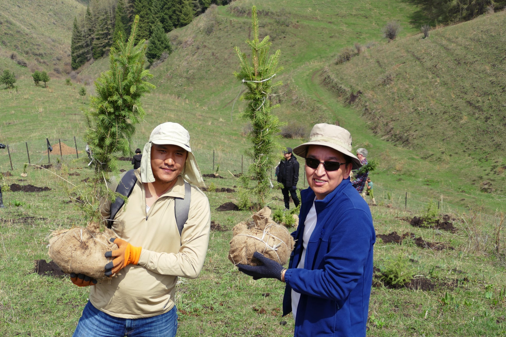
600 spruce seedlings were planted in the Chon-Kemin State Natural Park.
Chon-Kemin is one of 4 pilot sites, within the framework of the project “Pilot afforestation and reforestation of degraded forest areas in the border regions of Kazakhstan and Kyrgyzstan”.
There are 3 pilot sites in Kyrgyzstan and 1 pilot site in Kazakhstan.
The goal of this project is to develop and implement cost-effective forest landscape restoration concepts adapted to the local conditions of Kazakhstan and Kyrgyzstan. Our project cooperates with local residents from Tar-Suu village, experts and organizations of PF “Ilbirs Fund”, NGO “Shumkar Tor”.
An online presentation on the results of regional “Pilot-based Afforestation and Reforestation of Degraded Forest Areas in the Border Area between Kazakhstan and Kyrgyzstan” project
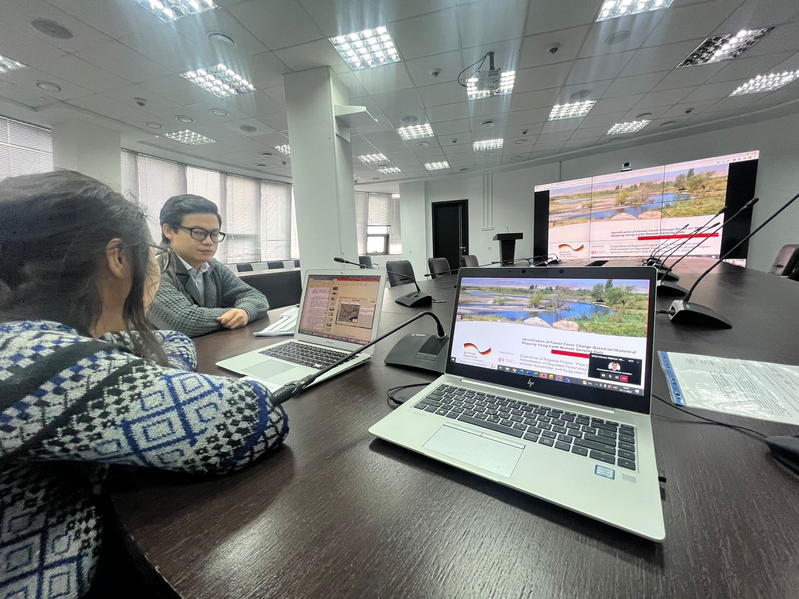
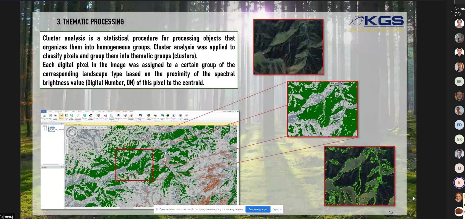
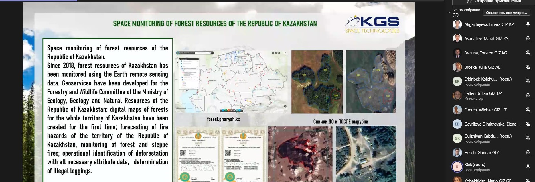
On 01 November 2022 the regional “Pilot-based Afforestation and Reforestation of Degraded Forest Areas in the Border Region between Kazakhstan and Kyrgyzstan” project (hereinafter – the Project) together with National Company “Kazakhstan Garysh Sapary” ( hereinafter – KGS) presented an online presentation on the results of the project. “Identification of forest cover changes based on historical mapping using remote sensing data” methodology presented to Seneca Green Cluster members of the Deutsche Gesellschaft für Internationale Zusammenarbeit (GIZ) GmbH (German federal enterprise for international cooperation) (hereinafter – GIZ). “Seneca Green Cluster” is a GIZ network for the Europe, Caucasus, Central Asia and Afghanistan sector aiming at sustainable economic development. The purpose of this presentation was sharing the experiences on results achieved and lessons learnt during the implementation of the Project and introducing participants to the application of GIS technologies and remote sensing data to promote sustainable forest management, forest monitoring techniques and historical mapping for the identification of degraded forest areas. Participants got information about methods for conducting forest cover change analyses using GIS and remote sensing applications.